


About
Global Surveying & Engineering
We are a Muscat-based surveying and engineering company providing a wide range of surveying and engineering solutions throughout the Sultanate of Oman. Our team of experts with leading-edge technologies and tools, provides innovative, quick, affordable, and accurate services to both the public and private sectors. We believe in commitment to professionalism, reliability, teamwork, safety, and sustainability. We are always open to new trends and advancements in technology. This allows us to embrace innovation and apply the latest methods and tools to contribute positively to the development and sustainability of our communities.


Our vision is to continuously adapt to new trends and advancements in technology, while maintaining our high standards of service and expertise.
Our Mission
Our mission is to provide innovative, quick, affordable, and accurate surveying and engineering solutions to both the public and private sectors in the Sultanate of Oman.
Our Vision

Our Services
Offering a wide range of services including Land surveying, Aerial survey, Quantity Survey, Hydrographic survey, Topographic survey, Underground utility Survey, and GIS services


Aerial/ Drone survey
Our drones, equipped with high-resolution cameras and LiDAR, help to collect fast and accurate information for planning, monitoring, and resource allocation.


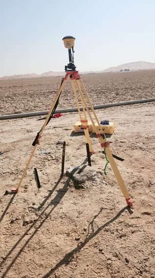
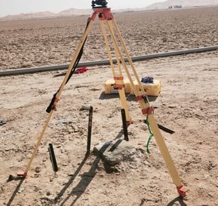
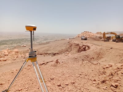
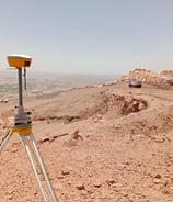
Land surveying provides precise measurements to ensure accurate planning and error prevention. Our team of skilled surveyors utilizes advanced technology to provide comprehensive surveying services.
Land surveying
Quantity surveying
Quantity surveying plays a crucial role in construction and design by providing precise calculations and detailed analysis of material volumes and costs. This data is essential for effective project planning, budgeting, and avoiding costly overruns.


Topographic survey
Our topographic surveys support route planning, thematic data preparation, and decision-making by creating detailed topographic and 3D maps and recording all visible features above ground.
Hydrographic Survey
We offer specialized hydrographic, bathymetric, and geographical surveys, using advanced technology to deliver customized data solutions for both offshore and nearshore projects.
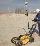
Underground Utility Survey
An underground utility survey aims to detect, map, and document the location of subsurface utilities like pipes, cables, and ducts. Construction, maintenance, and planning activities require this type of survey to prevent damage to existing underground infrastructure
Customer reviews
For our property, Global Surveying and Engineering conducts a boundary survey. The team explained everything clearly and provided accurate results. They were very professional and we would certainly use their services again
Rashid
Global Surveying and Engineering drone survey services are exceptional! Their advanced technology and precise data collection made our project planning seamless and efficient.
Sultan

Contact Us
Get in touch
Address
Building No 1384, Box 2316, Sultan Qaboos City, Muscat, Sultanate of Oman.
Working Hours
Saturday-Thursday: 8am-5pm