Our Projects
TOPOGRAPHIC SURVEY OF BUILT-UP AREA
The survey aimed to capture site features, assess ground elevations, and provide accurate data to support future planning and construction, following industry standards for precision and reliability.
CLIENT: AMPLLC
LOCATION: Nizwa
Overview
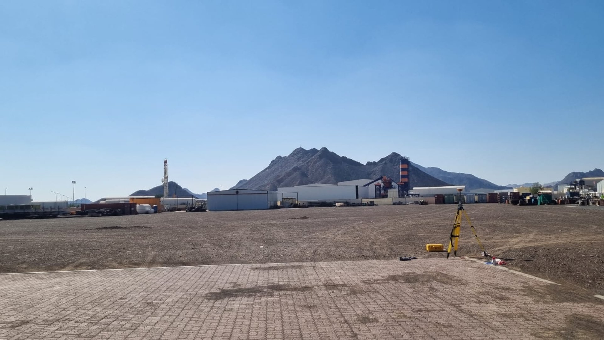
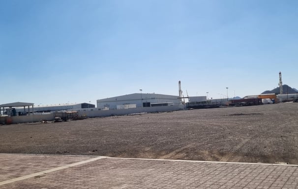
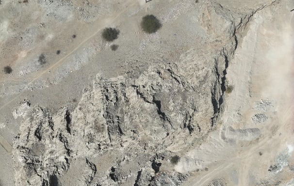
QUANTITY SURVEY FOR EARTHWORK EXCAVATION
The survey aimed to calculate the volume of excavated material by capturing accurate ground elevations across a large area, using industry-standard methods for reliable quantity estimation.
CLIENT: IMCLCC
LOCATION: IBRI
Overview
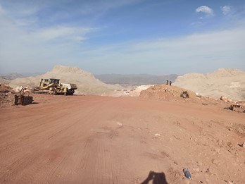
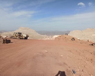
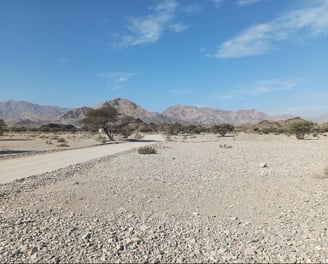
DRONE SURVEY - MOUNTAIN TERRAIN
The survey aimed to capture accurate elevation and surface data of mountainous terrain using drone technology, supporting future planning, design, and analysis with high-resolution topographic information.
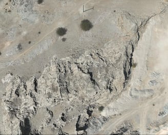
CLIENT: OECC
LOCATION: AL-AMARAT
Overview
TOPOGRAPHIC AND UNDERGROUND UTILITY SCANNING -GPR
To mark and record all site features, ground elevations, above ground utilities, and underground utilities (with depth) using Ground Penetrating Radar (GPR) and topographic survey methods.
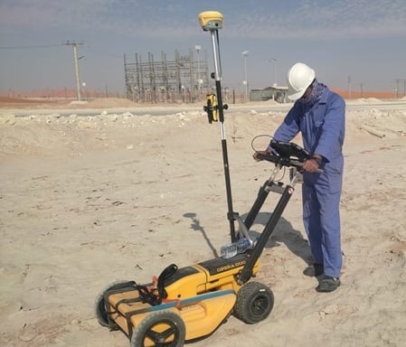
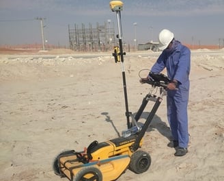
CLIENT: MAJEES TECH
LOCATION: OQ-BLOCK 60
Overview
TOPOGRAPHIC SURVEY AND CENTERLINE MARKING
To conduct a detailed topographic survey of the proposed road alignment, capturing ground levels, existing features, and marking the road centreline to support road design, grading, and construction planning.
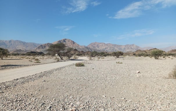
CLIENT: OECC
LOCATION: AL-AMARAT
Overview
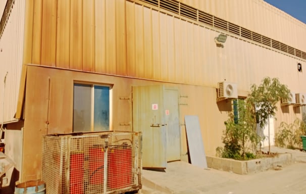
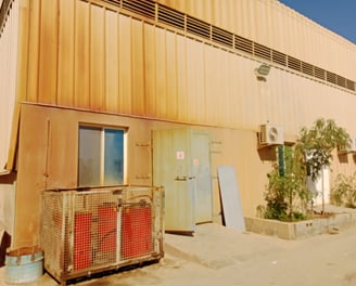
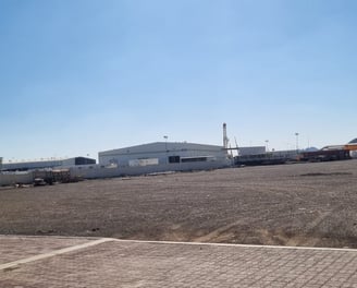
AS-BUILT SURVEY FOR BUILT-UP FACTORY
To conduct a comprehensive as-built survey of the constructed factory buildings and site layout, documenting the current built conditions and preparing detailed architectural drawings including floor plans, sections, elevations, and roof plans for record, verification, and future planning.